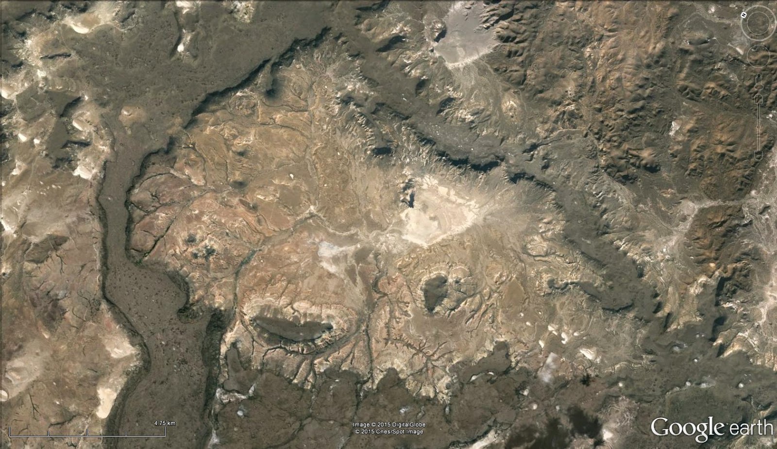
Bill led me far astray with his WoGE #492, which turned out to be a sheltered inlet on the Andaman Islands.
Leaving the tropics from now, here is some exposed rock:
As always, post a comment with latitude and longitude and write
something about the (geologic/geographic/hydrographic) feature in the
picture. If you win, you get to host the next one.
Previous WoGEs are collected by Felix on his blog and a KML file.
tirsdag 2. juni 2015
tirsdag 19. mai 2015
Where on Google Earth #491
Bill's WoGE #490 took us to the Laurens Peninsula of Heard Island, a very interesting location in a very remote part of the world.
This time I give you something vaguely related.
As always, post a comment with latitude and longitude and write something about the (geologic/geographic/hydrographic) feature in the picture. If you win, you get to host the next one.
Previous WoGEs are collected by Felix on his blog and a KML file.
This time I give you something vaguely related.
For such an interesting little area, it is surprisingly rarely visited. Or maybe it isn't so surprising after all...
As always, post a comment with latitude and longitude and write something about the (geologic/geographic/hydrographic) feature in the picture. If you win, you get to host the next one.
Previous WoGEs are collected by Felix on his blog and a KML file.
mandag 11. mai 2015
Where on Google Earth #489
Gord's Colombian mud volcano was fairly easy to solve due to clues which had nothing whatsoever to do with the actual mud volcano! I like that kind of puzzle where a whole lot of different and seemingly unrelated clues come together and point out a very limited area to search in.
For the next one, I considered for a moment asking for the southernmost known eclogite in teh Western Greiss Region of Norway. But since that is a small lens (about 20x80cm) in a shear zone, exposed under an overhang in my own garden, I decided that it was a bit TOO impossible. :)
Instead, I give you hydrology.
This one shouldn't be too hard, I think - but I liked the pattern it makes.
As always, post a comment with latitude and longitude and write something about the (geologic/geographic/hydrographic) feature in the picture. If you win, you get to host the next one.
Previous WoGEs are collected by Felix on his blog and a KML file.
tirsdag 14. april 2015
Where on Google Earth #487
Spotted Lake is one I have had a look at before, but I still had to find it through deduction and structural geology. :)
With that, it is time to plunge into the remote locations again:
As always, post a comment with latitude and longitude and write something about the (geologic/geographic/hydrographic) feature in the picture. If you win, you get to host the next one.
Previous WoGEs are collected by Felix on his blog and a KML file.
I was fairly sure that this would be difficult, so here is a larger area (rotated a little):
fredag 10. april 2015
WoGE #484
When I saw Bill Mitchell's WoGE #483, I thought it would be very difficult to find as it showed a rather standard suburbian area somewhere in the USA. But I was wrong, it was not too hard!
I thought my WoGE #482 should be fairly easy, but I was wrong.
I think this one will be very easy?
As always, post a comment with latitude and longitude and write something about the (geologic/geographic/hydrographic) feature in the picture. If you win, you get to host the next one.
Previous WoGEs are collected by Felix on his blog and a KML file.
fredag 20. mars 2015
Where on Google Earth # 482
Felix' WoGE #481 looked impossible at first glance. It showed a karst area, most likely in China since that is where this specific type of karst surface is most common. Looking closer I saw that it was not quite as impossible as I first thought, and from then it didn't take very long to find the correct location.
This WoGE is similar: It is a dune. Yet there are enough distinguishing features to place it in a fairly limited area, and I have included one feature making the location unique.
As always, post a comment with latitude and longitude and write something about the (geologic/geographic/hydrographic) feature in the picture. If you win, you get to host the next one. If you do not have a blog of your own, many of the regulars are very willing to help by hosting your puzzle.
Previous WoGEs are collected by Felix on his blog and a KML file.
After a week has gone, and with Easter holidays coming up, I think it is time for a hint:
I followed a stream upriver to the source, and I think I may have found the source of the black coating on the dunes. It also explains why there is a mine in such an inhospitable area, the source area is even worse!
This WoGE is similar: It is a dune. Yet there are enough distinguishing features to place it in a fairly limited area, and I have included one feature making the location unique.
Previous WoGEs are collected by Felix on his blog and a KML file.
After a week has gone, and with Easter holidays coming up, I think it is time for a hint:
I followed a stream upriver to the source, and I think I may have found the source of the black coating on the dunes. It also explains why there is a mine in such an inhospitable area, the source area is even worse!
tirsdag 17. mars 2015
Where on Google Earth #478
Trying to keep up the speed after finding Felix' WoGE #477, I present WoGE #478 without waiting for confirmation.
This is more a phenomenon than an occurrence - and recent work suggests that the traditional explanation is wrong.
As always, post a comment with latitude and longitude and write something about the (geologic/geographic/hydrographic) feature in the picture. If you win, you get to host the next one.
Previous WoGEs are collected by Felix on his blog and a KML file.
Abonner på:
Innlegg (Atom)